
This is one of my regular workouts, consisting of a 1 mile jog to the old track at SUNY Cortland, a hard mile on the track (5:26), then a jog to Beaudry Park, where there is a small hill with a set of 6 decently steep sledding trails. 2 hill sets today then back home.

Beaudry Park and its gnarly hills.
Tues: Tower Road (9.6 mi)
This has become my standard midweek longish road run. It features a few stiff climbs (first on Pendleton St. up to Ahrens Rd., a second push up to Tower Rd., and a final ascent to the eponymous tower), nice views of Cortland and its seven valleys (not sure how they arrived at that number), and a respectable-for-central-NY 2000 ft "summit". It tends to be insanely humid whenever I do this run...

The route from my house to the top of Tower Rd. I usually go up Pendleton St. (steeper) and down Page Green.
Wed: Road bike (8.6 mi round trip) and Wilderness-Bog Loop (~6 mi)
Other than the couple weeks I get fired up each year around the Tour de France, I'm not that into road biking, but with the car in the shop it was my only means of transport to the trails at Lime Hollow. It was nice to mix things up, though, and refreshing to get to the trailhead and back under my own power.
Thurs: rest
Fri: New Lehigh Valley Trail and Chicago Bog (~6 mi)
Since I have moved to Cortland, several new things have been constructed, mostly to my disappointment: a KFC, a super Walmart, an overpriced pizza place. The newest addition, a 2.7 mi extension of the Lehigh Valley Trail east from Lime Hollow, is more to my liking. I had checked this out earlier in the spring, but the western end of the trail by Gracie Road was totally flooded, apparently due to the work of beavers. In the end, though, they were no match for human trail crews. The trail is now terrestrial and ready for recreational enjoyment.
As a former railway, the trail is of course pancake flat and arrow straight, but enjoyable nonetheless. From Lime Hollow, the trail passes through some nice forest with lots of shade and later skirts by several small ponds. A number of paths intersect the trail. Most are snowmobile and ATV trails, which I assume are on private property, but one leads to Chicago Bog, creating some nice loop and link-up options, including a potential modification to the Wilderness-Bog Loop that would remove the short road section.
In summary, this is a welcome addition to the Cortland trail scene and a good choice for a flat, fast, unpaved run.
Sat: Finger Lakes Trail in Kennedy State Forest (21.1 mi, ~4500' gain, ~4:00)
The 459-mile Finger Lakes Trail (part of the 4,600-mile North Country Trail) winds through several state forests near Cortland, providing opportunities for long, hilly trail runs. This run covered most of the FLT in Kennedy State Forest, including portions of trail used in several local races (Forest Frolic, Monster Marathon, Virgil Crest Ultras).
Starting at the intersection of Bleck Rd. and the FLT, the route was basically a double out-and-back: first west to Daisy Hollow (11 mi), then east to Tone Rd., with a detour on the Virgil Mountain Loop on the way back (10.1 mi).
The first portion (Bleck Rd. to Daisy Hollow) is my favorite segment of the FLT in Cortland County. There is a great view, a rarity in the area, from the Rockpile at the intersection with Dabe's Diversion Loop (see below). The trail is all narrow singletrack through nice forest (no recent logging as far as I can tell), free of the tall, foot-soaking and leg-scratching grasses and other vegetation that plague many segments of the FLT. There is a series of decent-sized hills as the trail goes against the grain of the north-south oriented ridges and hollows. The climb heading west out of Babcock Hollow is especially tough, with some very steep, off-camber sections and difficult footing.
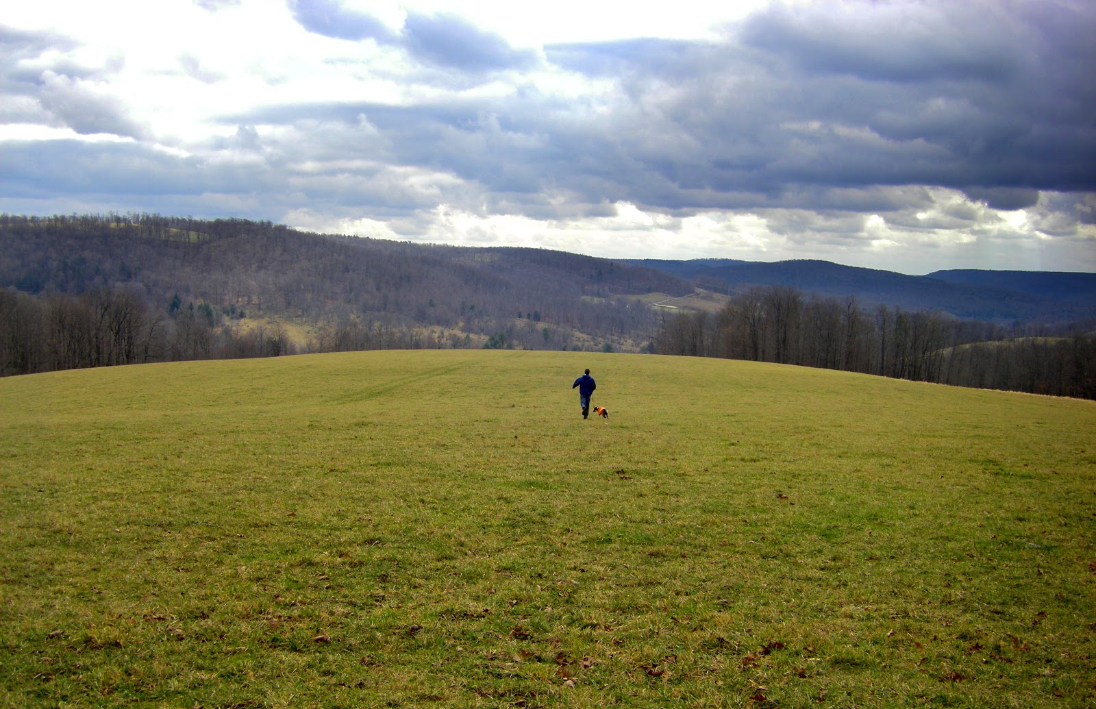 |
| View from the Rockpile (me with Remi last fall) |
The second portion (Bleck Rd. to Tone Rd.) is notable in that it includes the highest point (Virgil Mountain, 2132 ft.) and the biggest climb I'm aware of (Tone Rd. to Virgil Mountain, almost 900 ft.) in Cortland County. Unfortunately, some portions of the trail are in poor condition due to logging and defoliation by gypsy moths. In particular, the segment climbing up Greek Peak between O'Dell Rd. and Van Donsel Rd., which I used to really enjoy, was logged earlier this year, leaving the trail muddy and overgrown... thanks, DEC. I complain too much, though. Most of the trail is nice, especially the beginning of the climb up Tone Rd., which parallels a steep mountain stream with several small waterfalls when the water is up.
In the end, this ended up being a pretty beastly run for me, with all the hills adding up to a respectable 4500 ft. of elevation gain. I felt good and had no major problems throughout- a good way to end the week.
No comments:
Post a Comment